ENSURING OUR NATION’S MILITARY READINESS AND PROTECTING INDIANA’S NATURAL HERITAGE
In 2022, Sentinel Landscapes Partnership designated the 3.5-million-acre Southern Indiana Sentinel Landscape (SISL), at the time one of only ten such areas in the country, recognizing the critical importance of southern Indiana’s four military installations and the area’s rich natural and agricultural heritage.
The four critical Department of War installations and ranges that are the cornerstones of the Southern Indiana Sentinel Landscape are Naval Weapons Station Crane, the Lake Glendora Test Facility, Atterbury-Muscatatuck Training Center, and the Indiana Air Range Complex.
In 2013, DoW, USDA, and DOI established the Sentinel Landscapes Partnership to support landowners and land managers in areas around military installations and ranges where the agencies have shared interests. The partnership helps ensure compatible land use around installations, reducing encroachment and other threats to military readiness and mission capabilities. While each agency offers voluntary landowner assistance programs that fund conservation easements or help offset the cost of preserving natural resources, each program scope varies and is influenced by the anchor military installation’s mission. By aligning Federal assistance programs around military installations and ranges, sentinel landscapes allow USDA, DOW, and DOI to mitigate internal resource constraints, reduce duplicative efforts, and advance their collective objectives.
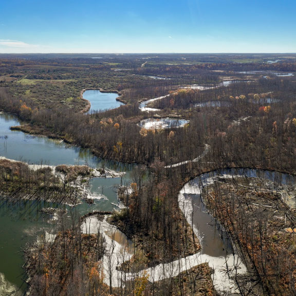
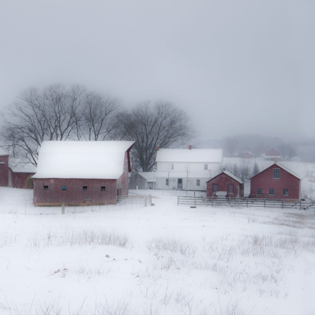
This vast landscape contains over 470,000 acres of protected lands including State Parks, Recreation Areas, State Forests, Fish and Wildlife Areas, and Nature Preserves managed by the Department of Natural Resources; National Forest; National Wildlife Refuges; land trust properties; local parks; military installations and ranges; and private lands with conservation easements.
The Conservation Law Center (CLC) at Indiana University’s Maurer School of Law coordinates the Sentinel Landscape program in Southern Indiana.
Sentinel Landscape Partners work to:
- Preserve and protect military missions
- Support sustainable farming and forestry
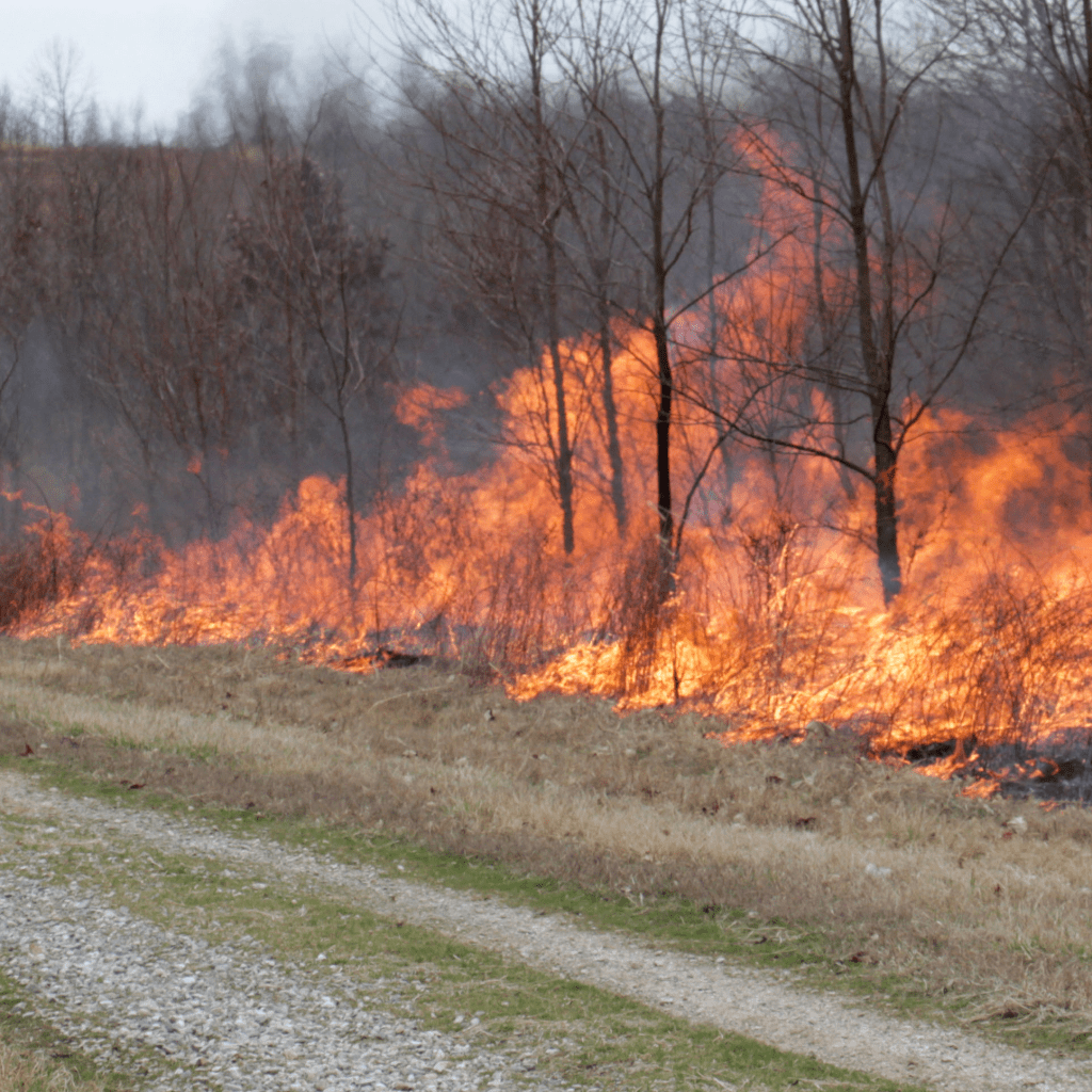
- Restore and sustain ecosystems
- Ensure thriving human communities
- Address weather-related impacts
Why is the Southern Indiana Sentinel Landscape important?
The four installations and ranges provide a variety of testing and training opportunities for the Army, Navy, Air Force, Marine Corps, National Guard, as well as federal and state partners.
Southern Indiana’s four military installations and ranges are critical to our national security and are essential economic drivers for their local communities and the State of Indiana. Encroachments and incompatible land use near the installations have increased over the past several decades, impacting the military’s ability to maintain mission readiness. Compatible land uses, including farms, forests, wetlands, and grasslands are good neighbors to our military installations.
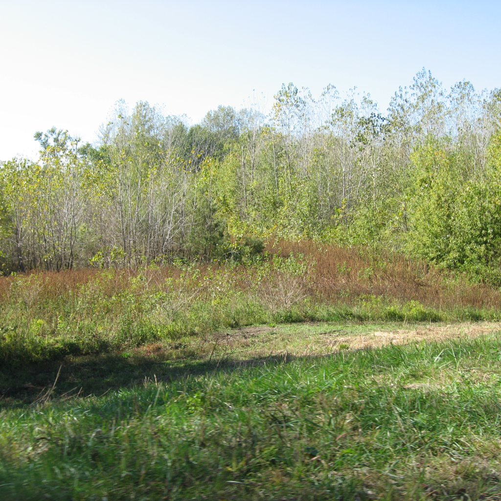
SISL supports sustainable land management of farms and forests by connecting private landowners with available resources and programs.
Encouraging sustainable compatible land uses near our military installations will help keep farms and forests healthy and productive, improve water quality, and provide necessary ecosystem services.
Healthy working and natural landscapes surrounding our military installations and ranges make our local economies stronger.
How can you join the effort to conserve our natural resources while supporting our military?
If you are a landowner who values conservation, reach out to us and we can help you navigate what partners and programs might best fit your goals for your property. Our new Conservation Discovery Web Application can also help you discern your options.
If you are an agency or organization that feels like you might be a good fit for a partnership and are not already engaged with us, please reach out so that we might explore a potential partnership.