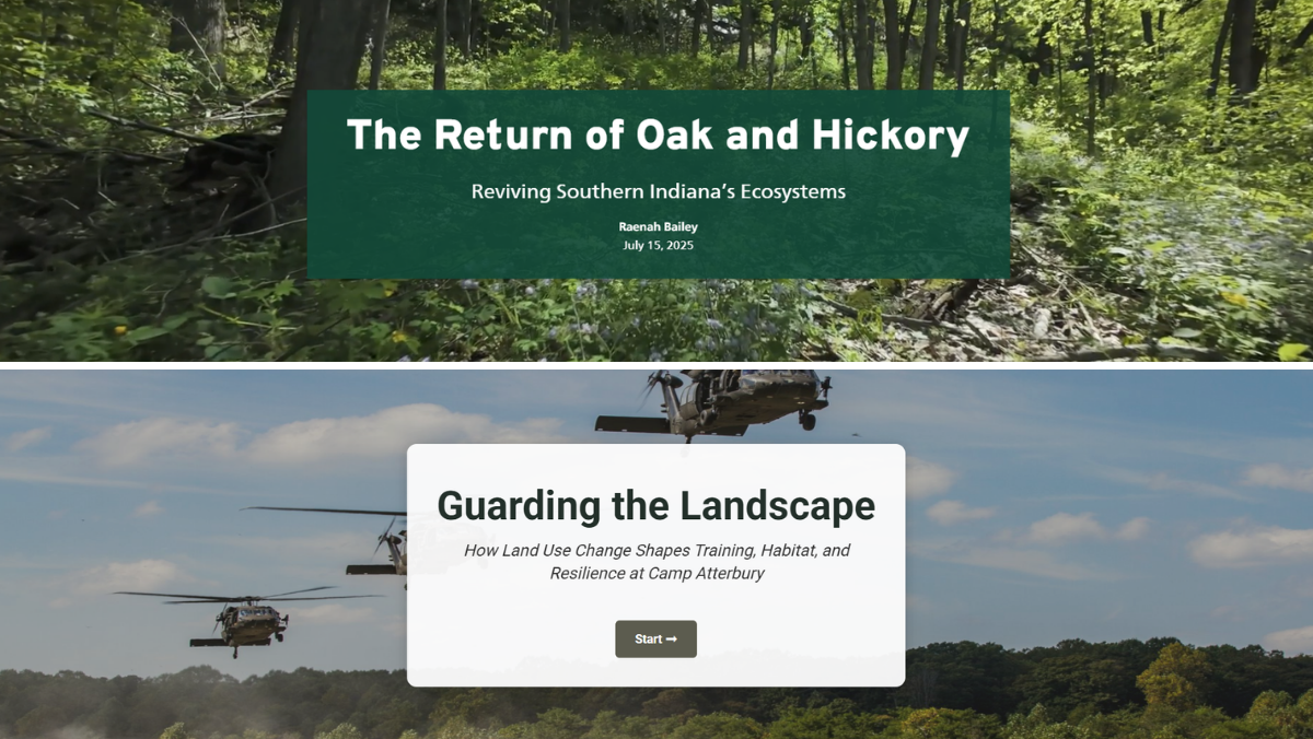
The first is an Oak Ecosystem StoryMap, a visual narrative that brings together southern Indiana’s geography, ecological history, and forest science. Oak ecosystems are a defining feature of the region, supporting wildlife habitat, biodiversity, working lands, and the character of southern Indiana’s forests. The StoryMap helps explain why these ecosystems matter, how they have changed over time, and what conservation partners can do to support their long-term health. The project incorporates photography from WildPath, with drone footage still to come.
Dr. Bailey has also supported the development of tools focused on the Atterbury-Muscatatuck region, where conservation planning, community growth, and military mission readiness intersect. Through the Southern Indiana Sentinel Landscape, CLC completed a comprehensive land use change analysis surrounding Camp Atterbury. The analysis draws on historical and projected land use data, demographiphic trends, septic density estimates, and development pressure indicators to identify areas where future growth may affect military readiness, natural resources, and working lands.
The results are now incorporated into Guarding the Landscape, an interactive web tool that allows users to explore development trends, priority species habitat, and environmental resilience considerations across the region. The tool gives local decision-makers, conservation partners, and military stakeholders actionable information to guide planning, prioritize conservation investments, and address potential encroachment concerns before they become conflicts.
Together, these projects reflect CLC’s role in connecting science, law, planning, and partnership. By making complex landscape data easier to understand and use, CLC is helping partners protect southern Indiana’s natural resources while supporting resilient communities and military readiness.